
Flash flooding, damaging winds and 8 cm hail as severe storms lash Queensland and NSW
A barrage of thunderstorms battered parts of southeast Queensland and northeast NSW on Monday, causing powerful winds, heavy rain and huge hailstones.
Monday’s storms developed as an upper-level trough and a surface-based trough interacted with warm and moisture-laden air over eastern Australia to create an ideal environment for violent thunderstorms.
Storms started building over central NSW on Monday morning and by the early afternoon they had spread through northern NSW into southern and central Queensland. The storms continued to intensify into the late afternoon and early evening, resulting in numerous severe thunderstorms in both states.
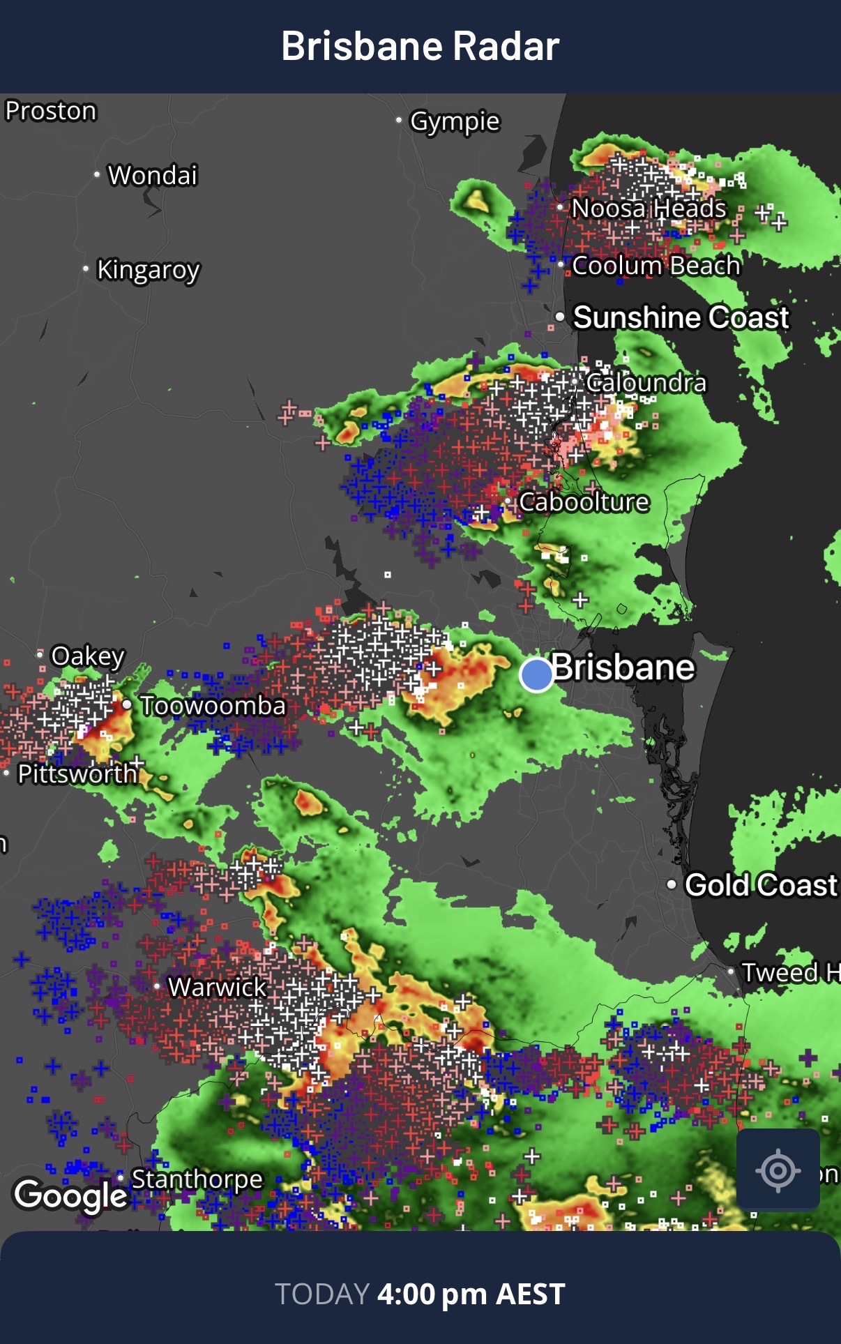
Image: Radar and lightning strikes on the Weatherzone app, showing thunderstorms over southeast Queensland on Monday. Source: Weatherzone.
One intense storm cell caused flash flooding in the Northern Rivers region of NSW after developing near Rappville then moving towards Lismore and Lennox Head. A rain gauge at Lake Ainsworth in Lennox Head received 53 mm in one hour between 5pm and 6pm AEDT, while another gauge at Alstonville collected 55 mm in the same one-hour period. This caused flash flooding in some streets around the Lennox Head area.
Further north in Queensland, hail measuring 7–8 cm in diameter – roughly the size of a tennis ball – was reported in Gatton, Lilydale and Helidon, while 5–6 cm hail was also reported in Hodgson and Woodford. Another storm cell passing through the Toowoomba area at around 4 pm AEST caused damaging wind gusts reaching 91 km/h. Later in the day, a storm moving north of Noosa dumped 60 mm of rain in 30 minutes at Kin Kin.
Weatherzone’s Total Lightning Network detected just over 400,000 lightning pulses within 800 km of Lismore, NSW on Monday up to 8pm AEDT.
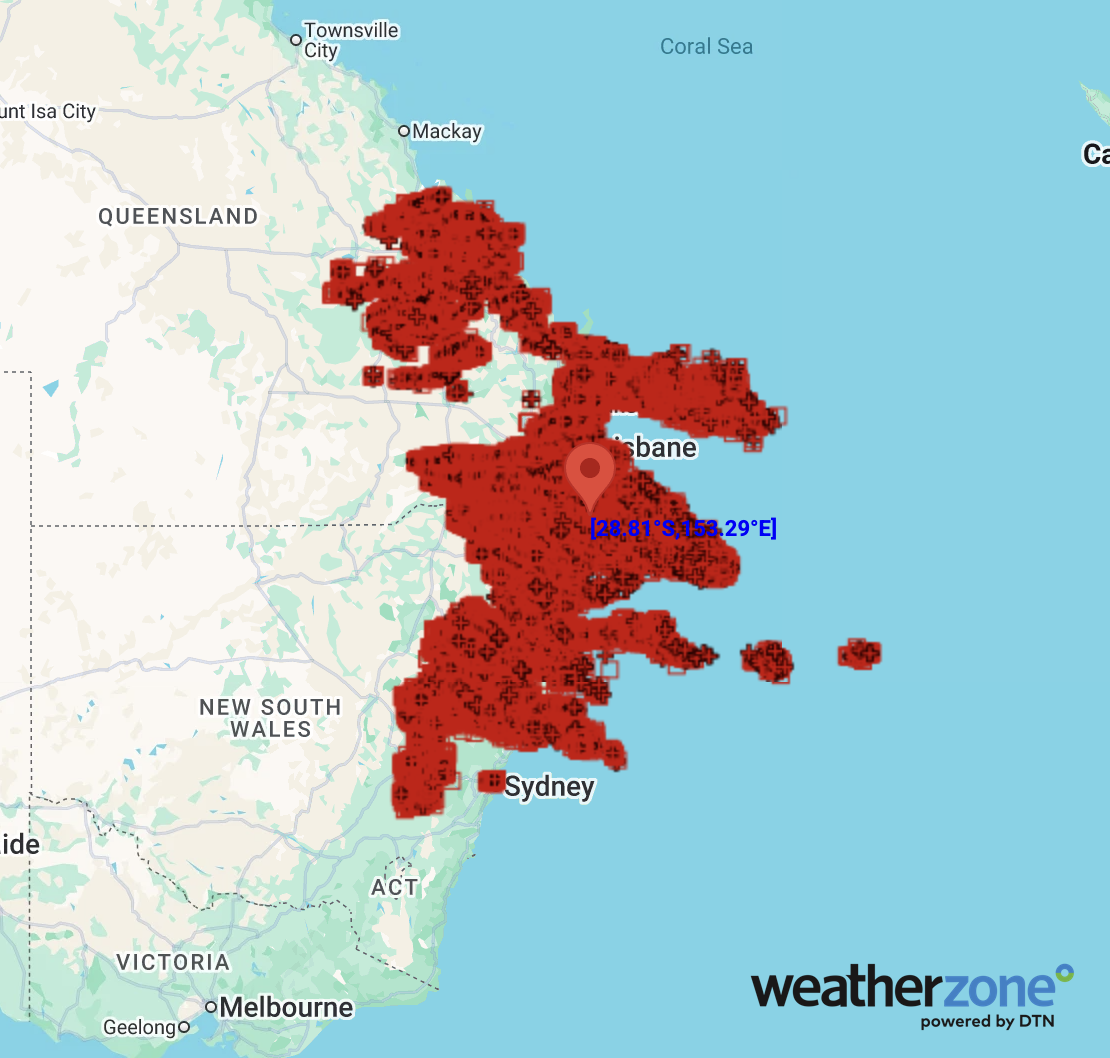
Image: Lightning pulses detected within an 800 km radius of Lismore, NSW between 8 am and 8 pm AEDT on Monday, November 16, 2026. Source: Weatherzone.
Monday’s severe storms were the latest round of volatile weather that has affected eastern Australia this November. Last week, severe thunderstorms prompted warnings for giant hail on Wednesday before another round of dangerous storms developed on Thursday.
Looking ahead, conditions will be calmer over most of eastern Australia on Tuesday, although showers and some storms are still possible over northern and eastern Queensland and northeast NSW.