
Stormy weekend ahead for parts of Vic, NSW, ACT and Qld
All the ingredients are in place for an outbreak of stormy weather across much of southeast Australia this weekend, with storms also likely to develop in parts of Queensland by Sunday.
A trough will move through southern Victoria on Saturday, triggering showers and storms in southern parts. The north of the state will be seriously hot, with temps nudging 40°C along the Murray.
The trough will also reach southern NSW during Saturday. As it does, it will start to interact with low-level humidity built up after days of easterly winds. This could potentially trigger severe thunderstorms in southeast NSW and eastern Victoria.
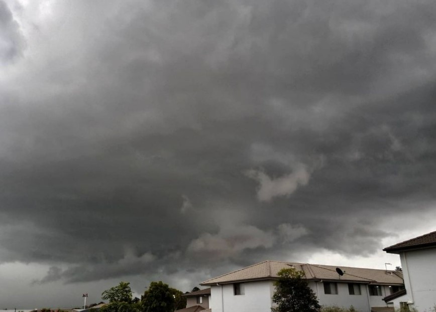
Image: Expect a fair bit of this in eastern Australia this weekend. Source: chris_winter_82 via Instagram.
On Sunday, storms should spread northeast over NSW and QLD, and the trough should stick around over QLD and northeast NSW into early next week.
Also on Sunday, a second Southern Ocean cold front will inject mid-level moisture as it flicks southern Victoria. As indicated on the projected synoptic chart for Sunday below, this will cause another flare-up of instability over Victoria.
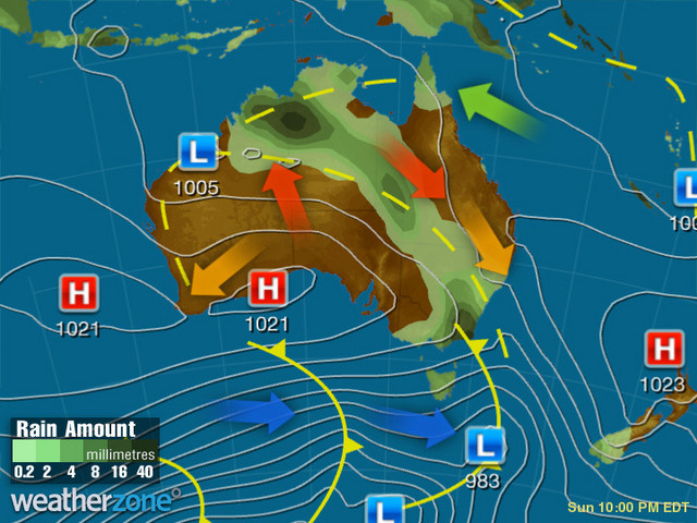
Showers are possible on both Saturday and Sunday in Melbourne this weekend, with storms more likely on Sunday.
Canberra could also see storms on both days, with Sunday again the more likely candidate.
Sydney could also see a storm on Sunday, though the likelihood is not too high at this stage. Heat should be a factor too on Sunday, with a top of 34°C forecast.
Hobart could also see showers on Sunday, while Brisbane, Adelaide and Perth will be mostly on the dry side.
Darwin will be doing Darwin things, with the chance of storms on both days this weekend.