
Late October freeze in five states
The mercury hit the freezing point in four states and one territory overnight with just five weeks remaining in spring.
Here's a breakdown of the lowest recorded temperatures on Tuesday morning in New South Wales, Victoria, Tasmania, South Australia and the ACT.
- Perisher (NSW) -3.8°C.
- Kunanyi/Mt Wellington (Tas) -2.8°C
- Mt Buller (Vic) -2.3°C
- Mt Ginini (ACT) -1.5°C
- Keith West (SA) 0.0°C
While most of the coldest overnight readings were in mountainous areas, it's worth noting that some locations at much lower elevations also fell below zero overnight.
For example, the mercury in Goulburn in NSW fell to -0.6°C (its coldest night of the month to date) while the small town of Cressy, near Launceston in Tasmania's north at an elevation around just 150 metres, dipped to the same temperature.
Keith West in South Australia (the state's coldest overnight reading as per the list above) is another inland low-elevation location at just 27 metres above sea level, however it was exceptionally calm overnight, which allowed signfiicant cooling.
Why was it so cold in southeastern Australia overnight?
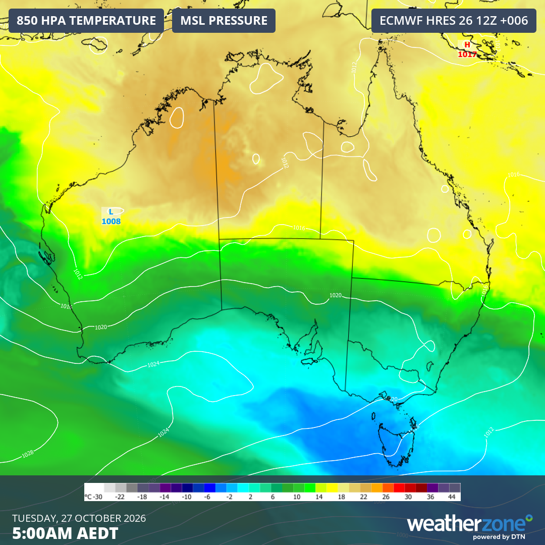
Image: Mean sea level pressure and 850 hPa temperatures across Australia at 5 am (AEDT) on Tuesday, October 27, 2026. Source: Weatherzone.
After a cold front swept across the southeast on Sunday with widespread rain and storms both preceding and accompanying it, the airmass has rapidly dried, especially on the mainland, as a high pressure system centred southwest of Australia extends a ridge across the continent.
This has created the cool, mostly calm conditions overnight across the southeast.
While a little snow again fell in elevated parts of Tasmania on Monday night into Tuesday morning after a slightly heavier fall the night before (see image below), most of Victoria and southern inland NSW were dry overnight.
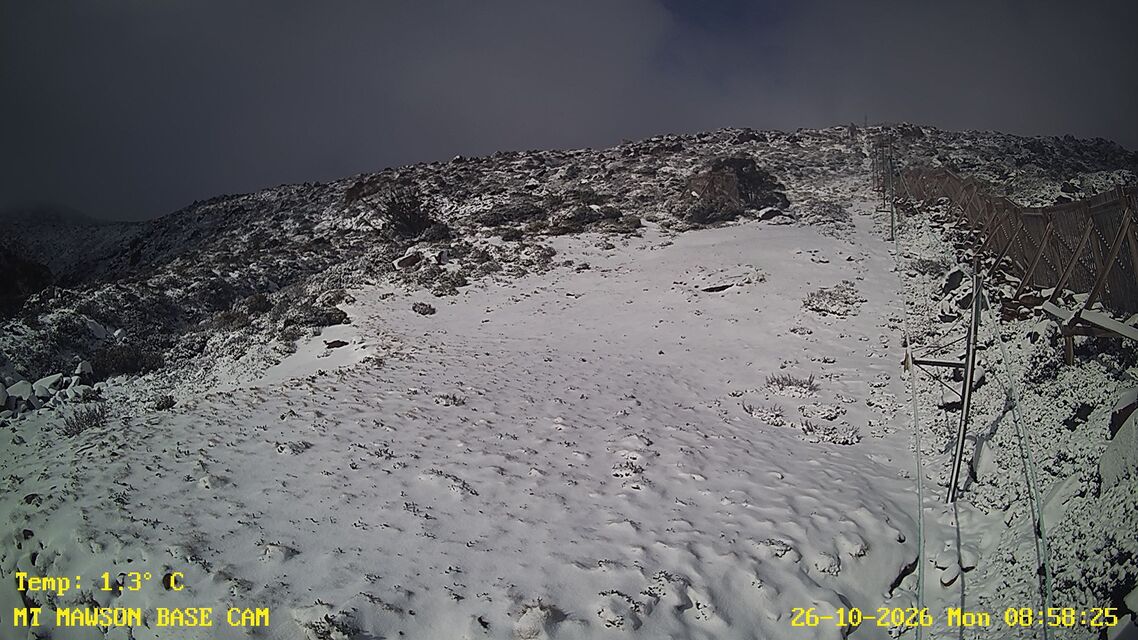
Image: The snow cam at Mt Mawson, about two hours NW of Hobart, on the morning of Monday, October 26, 2026. Source: Mt Mawson.
Tropical influences further north prevent significant overnight cooling
When winter or spring minimums hit the freezing point or lower in Australia's southeast, the cold often extends further north to places like the NSW Northern Tablelands and Queensland's Granite Belt. But that was definitely not the case overnight.
Glen Innes in northern NSW – which in 2023 recorded Australia's coldest temperature for the entire year – had a mild minimum of 11.6°C overnight, its seventh straight night of double-digit minimums in a month where the long-term average low is 5.8°C.
In Queensland, no location on the Granite Belt (or anywhere in the state) recorded a minimum as low as 15 degrees.
Meanwhile, unstable weather will continue in parts of Queensland, with showers and storms most likely this Tuesday in northwest, central and southeast Queensland. From Wednesday onwards, the wet and stormy weather starts to contract further north, mainly impacting northern and central regions.
For the southeastern corner of the country, there's at least one more chilly night in store. There's even the chance of a light frost in Canberra on Wednesday and Thursday mornings.