
Famous morning glory cloud crosses Gulf of Carpentaria
A huge roll cloud formation known locally as the ‘morning glory’ cloud swept across northwest Queensland and the Gulf of Carpentaria on Thursday morning.
What are roll clouds?
Roll clouds are long tube-shaped clouds that form due to the presence of atmospheric gravity waves, which are invisible waves in the sky that cause air to rise and sink in a stable layer of the atmosphere.
Atmospheric gravity waves move through the sky like waves in the ocean. At the wave’s peak, the air is slightly cooler than the air at the wave’s trough. Because cooling can cause condensation in the atmosphere, this temperature difference sometimes causes parallel rows of clouds to form along the wave crests, creating a sequence of long roll clouds that can stretch for hundreds or even thousands of kilometres.
Morning glory cloud
There are a few places in the world known for being roll cloud hot spots. These include the Arabian Sea between India and Oman and the Gulf of Carpentaria in northern Australia.
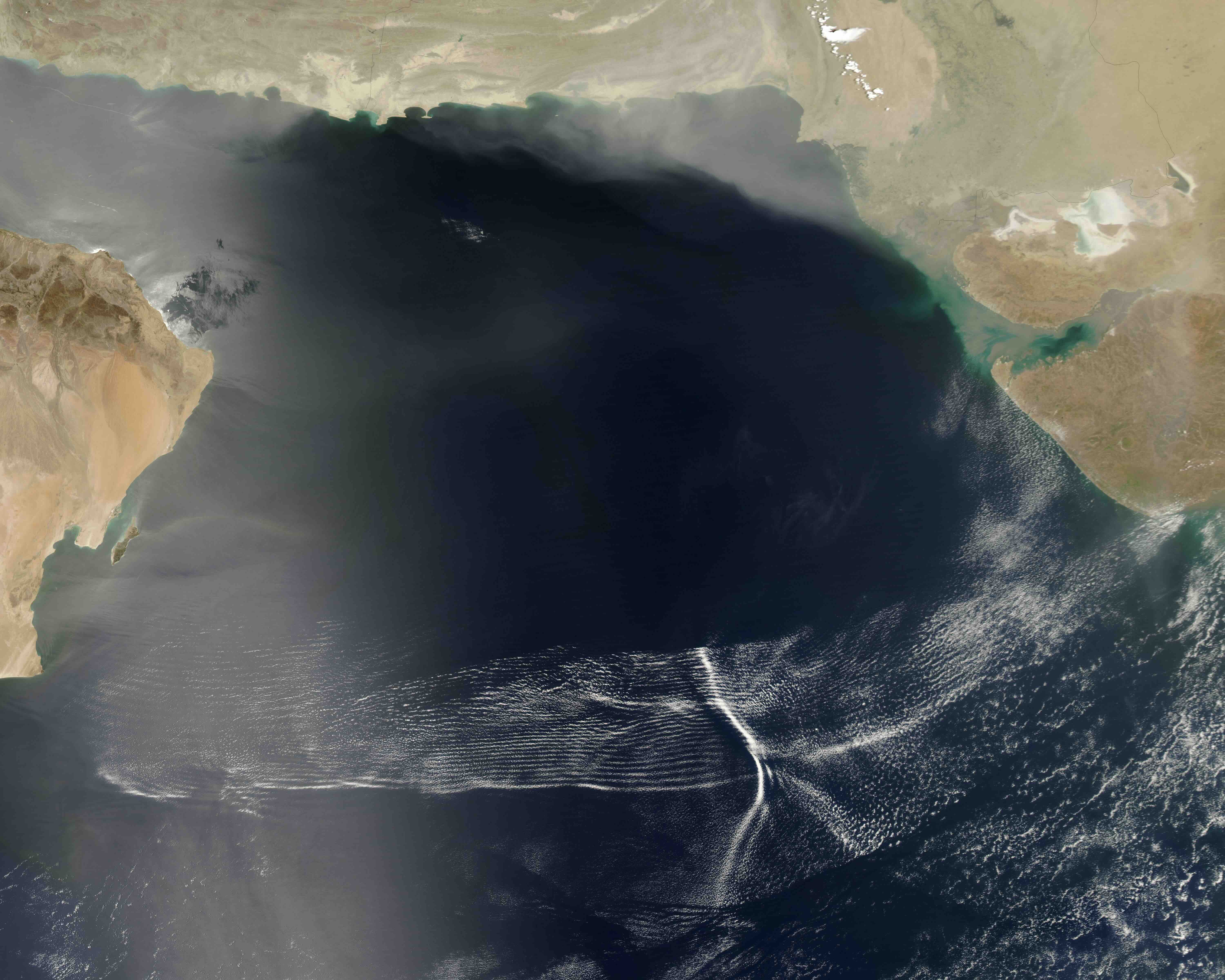
Image: Roll clouds over the Arabian Sea on May 8, 2007. Source: NASA.
This Thursday morning, October 8, showed why northwest Queensland is famous for its roll cloud, which has been nicknamed the ‘morning glory’ cloud.
Satellites captured a series of roll clouds moving towards Burketown as the sun rose on Thursday. These roll clouds originally formed on Wednesday night as sea breezes from opposing sides of the Gulf of Carpentaria clashed, causing the relatively cooler easterly sea breeze from the Coral Sea to undercut the warmer westerly sea breeze flowing off the Gulf of Carpentaria.
The atmospheric gravity wave that originated over Cape York Peninsula on Wednesday night travelled around 600 km to be located over Burketown by Thursday morning.
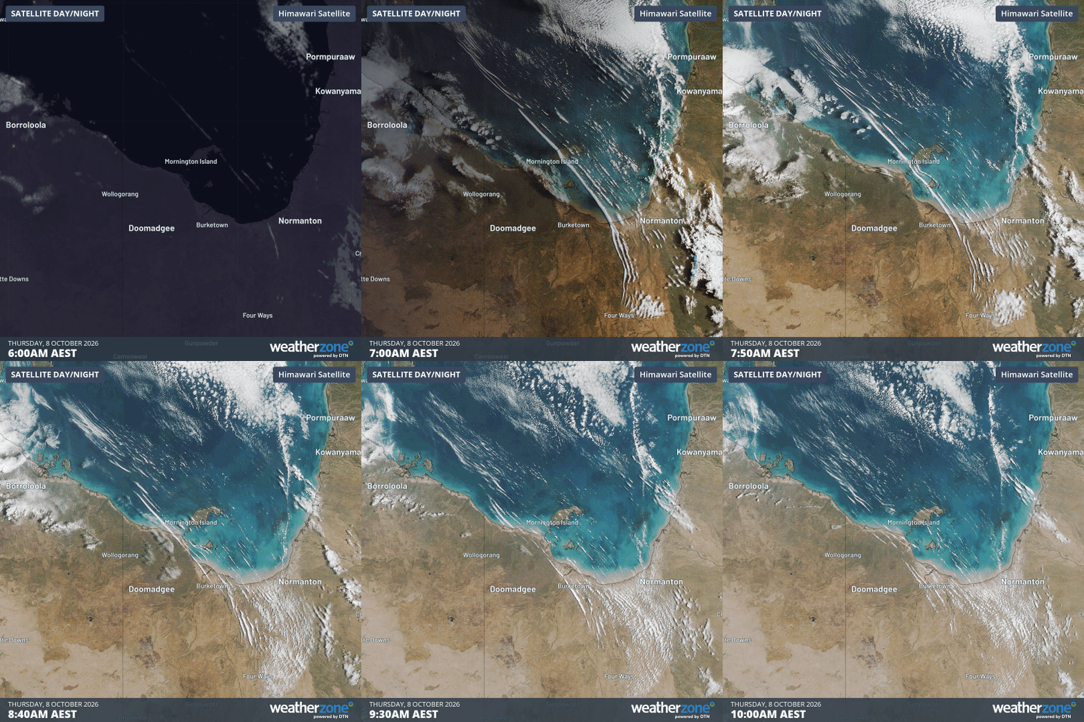
Image: Satellite images showing roll clouds moving over northwest Queensland and the Gulf of Carpentaria on Thursday morning, October 8, 2026. Source: Weatherzone.
Coincidentally, the roll cloud formation was also around 600 km in length as the sun rose on Thursday morning, stretching from Queensland’s northern interior to near Groote Eylandt in the Gulf of Carpentaria.