
Condensation trails over inland NSW
In contrast to the thick low level cloud making for a cool and wet Sunday across eastern NSW, skies are largely clear to the west of the ranges. For some areas the only clouds in the sky are the condensation trails (con trails) produced unintentionally by high altitude aircraft such as commercial airliners travelling between states or heading overseas.
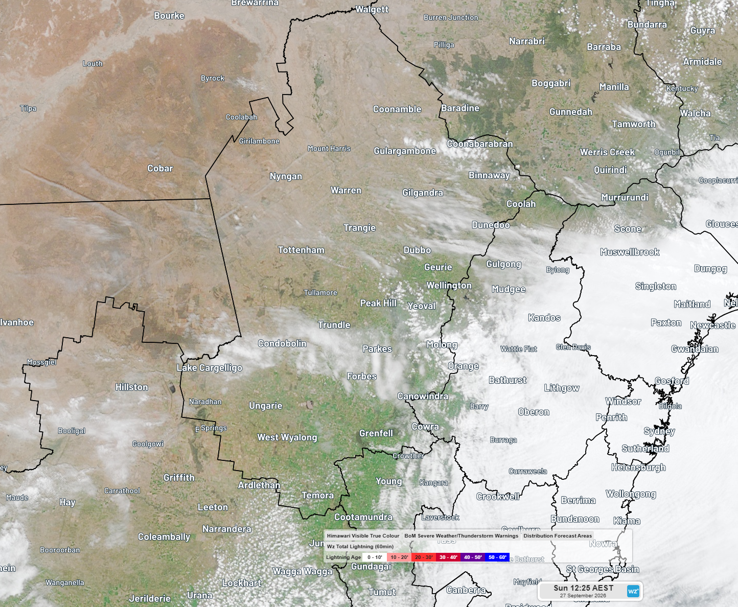
Image: Visible satellite imagery showing condensation trails around Cobar at 12:25pm Sunday 27th. Source: Weatherzone
Con trails are simply an example of cirrus clouds which are a class of wispy looking, high altitude clouds made of ice particles. Conditions are just right for con trails over inland NSW on Sunday because there is background moisture present at the flight altitude but dry conditions below.
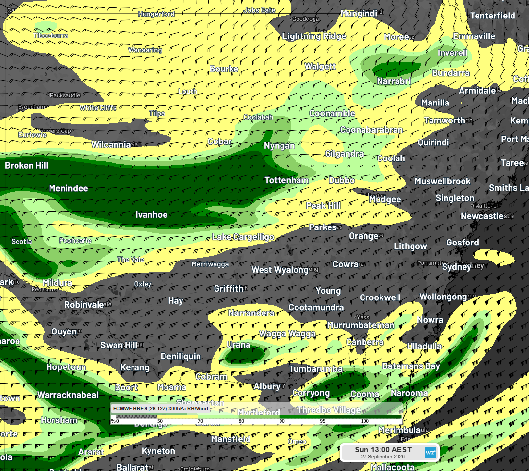
Image: Relative humidity and wind barbs at 300hPa (roughly 30,000 feet) showing high relative humidity over parts of inland NSW forecast at 1pm Sunday 27th. Source: ECMWF model
The high relative humidity at the flight altitude means that when the exhaust from the jet engines promotes ice crystal development it doesn’t sublime (turn straight to invisible water vapour) but lingers in the sky as a thin trail of wispy cloud behind the airliner. The low relative humidity beneath this level means that they are visible from the ground and not obscured by low level clouds. This morning these conditions were over the North West Slopes district as seen in the satellite imagery and photo below.
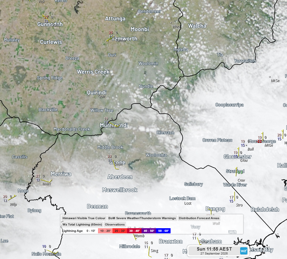
Image: Satellite imagery showing con trails over the Upper Hunter and North West Slopes and Plains on Sunday morning. Source: Weatherzone
The jetstream flowing roughly perpendicular to these con trails was moving them to the east and causing them to fan out.
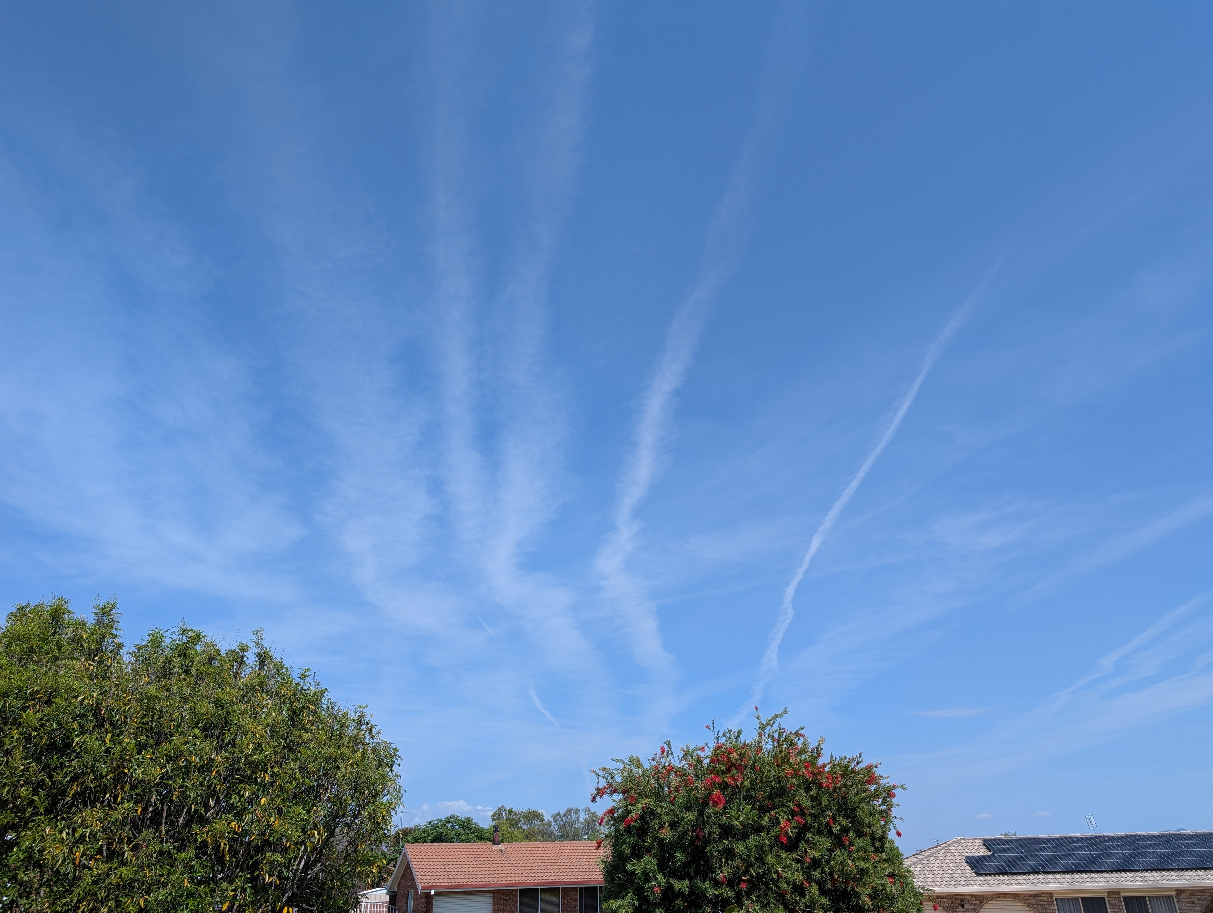
Image: Con trails over the North West Slopes and Plains on Sunday morning (looking south).
But during Sunday afternoon the background relative humidity at flight level decreased and the con trails quickly sublimed.

Image: Flight heading northwards over the North West Slopes with a quickly disappearing con trail on Sunday afternoon.